-
Maser Consulting & LDDI: Partners in Real Time Education
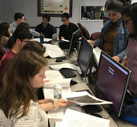
The LDDI is a collaborative effort of the Via Department of Civil & Environmental Engineering at Virginia Tech with industry practitioners. The program’s primary objectives include improving land development design education; increasing student awareness of land development design as a career path; and increasing interaction between practitioners and undergraduate civil engineering students at Virginia Tech. ... Read More
-
Phillipsburg High School: A Road to Education
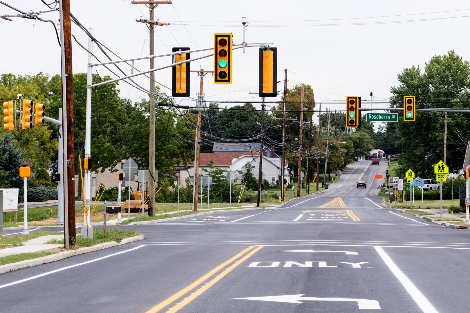
During the annual League of Municipalities in Atlantic City, the New Jersey Society of Municipal Engineers (NJSME) recognizes outstanding municipal engineering projects throughout the State. This year, we’re proud that three of our projects have received this honor. This week, we introduce the NJSME’s first place Project of the Year in the Intergovernmental Cooperation category, ... Read More
-
Managing Transportation Assets with Enterprise GIS (eGIS)
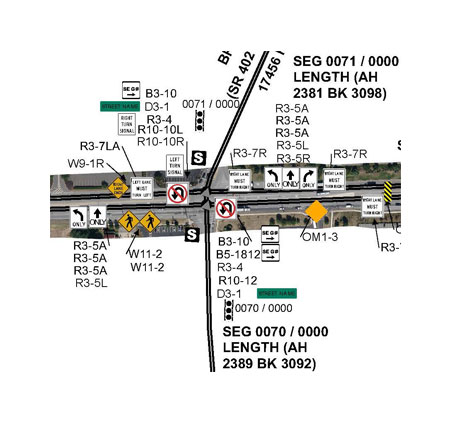
Every organization has some method of managing their assets in place. Enterprise GIS (eGIS) programs are highly configurable to your specific needs facility-wide, are easy to use, extremely effective and may even integrate into existing software applications that you already have. ... Read More
-
Municipalities Unite at the 2015 NJSLOM Conference & NJSME Awards

In New Jersey, the largest municipal event by far is heralded in by the NJ State League of Municipalities’ (NJSLOM) Annual Conference held within the casinos of Atlantic City, NJ. This 3-day long event is filled with handshaking, info-booths, making friends, enjoying the festivities, developing business contacts and a chance to compare notes with any one of the 565 municipalities ... Read More
-
Data Fusion & Design/Build–A Recipe for Success!
“When properly managed and executed [LiDAR technology] can result in safer means of survey data collection, expedited project schedules, extensive datasets for design inquiries, better quality survey deliverables and extreme confidence in the reliability of information…” Leaders in the field of mobile LiDAR, Chad Boggs, PSM and Mike Ehrhart, PSM have teamed up to present ... Read More
-
Mapping the Last Frontier
Alaska, the largest state in the U.S., spanning 663,268 square miles, offers a diverse landscape of deep valleys and rigid mountains, traversed by rivers, speckled with lakes and teeming with wildlife. The State has some of the longest days and nights during the summer and winter solstices and is an ideal spot to view the ... Read More

WE ARE COMMUNICATORS
... sharing information and insights.