
Bethlehem Authority Watershed Story Map
Northampton County, PA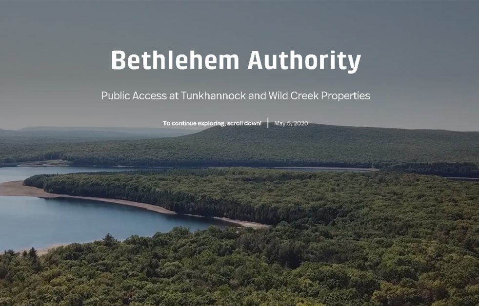
Bethlehem Authority Watershed Story Map
Northampton County, PA
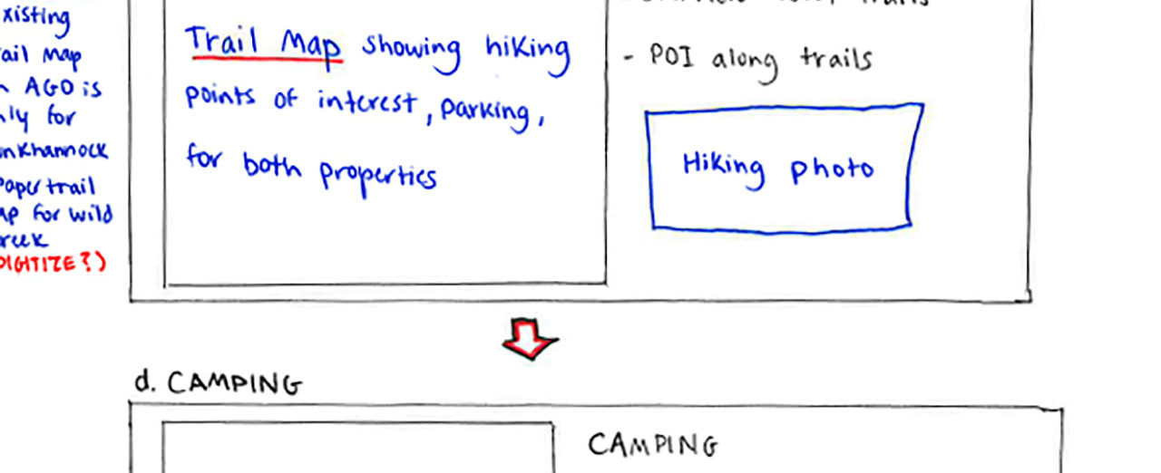
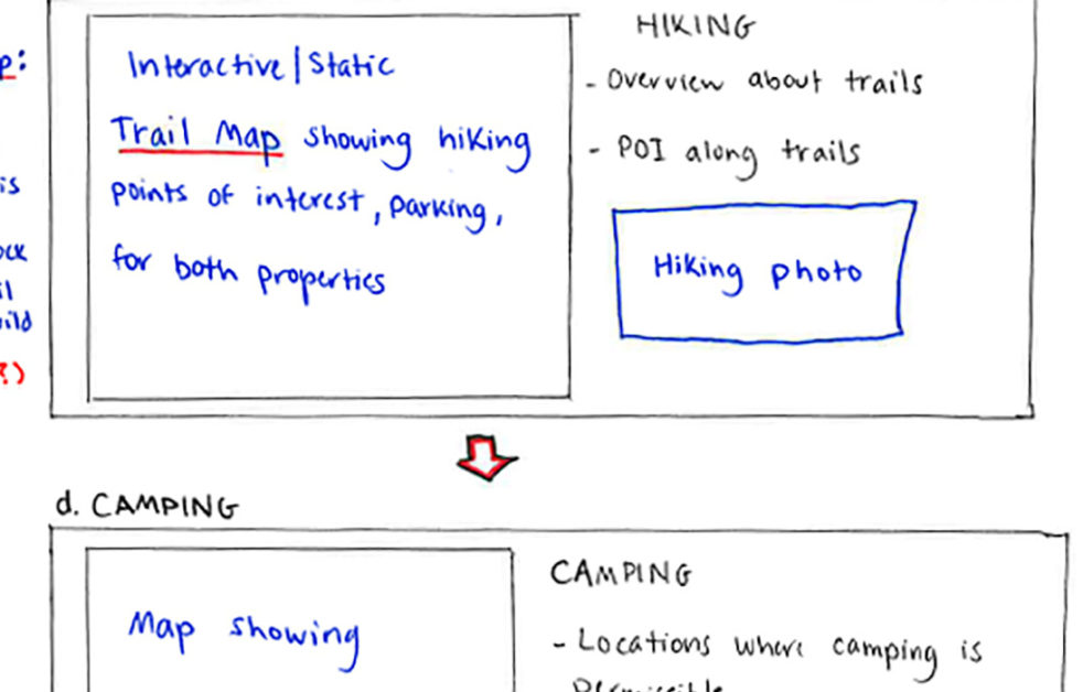
Colliers Engineering & Design prepared a “Public Access” story map for the Bethlehem Authority using Esri’s StoryMaps software. The Authority allows the general public to access certain areas of its property and was using a static web page to disseminate information about the area. After initial discussions with our team, the Authority decided that an interactive story map would be a better way to share this information. We worked closely with the Authority to prepare a concept sketch of what the final story map would look like and then gathered photos, text, and maps from the Authority to build the Bethlehem Authority Public Access story map.
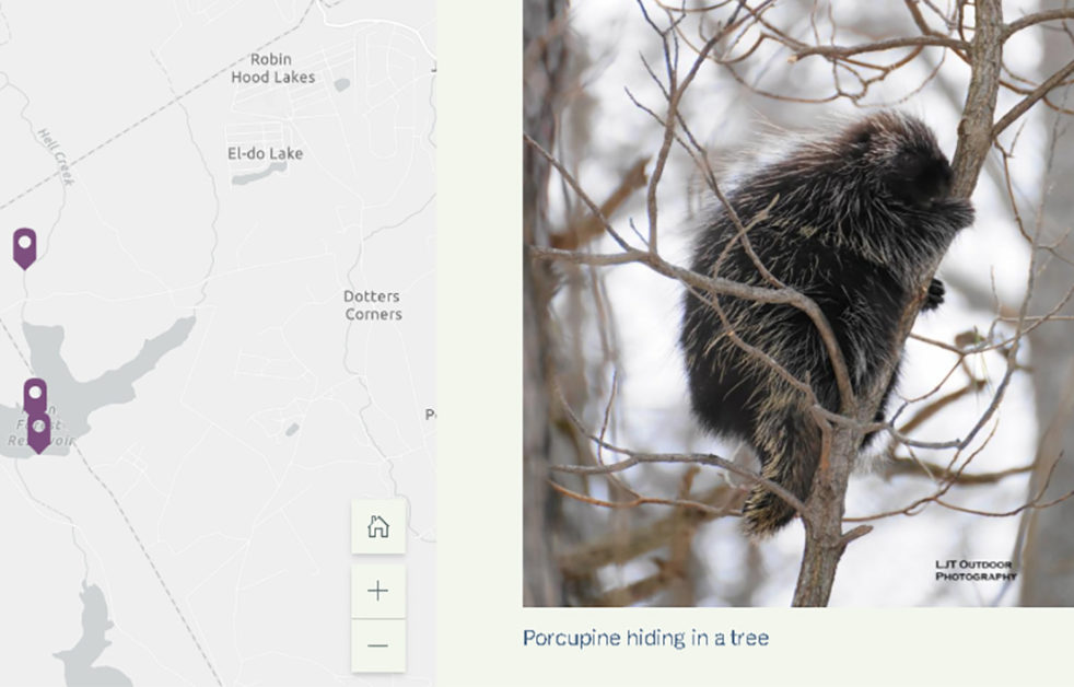
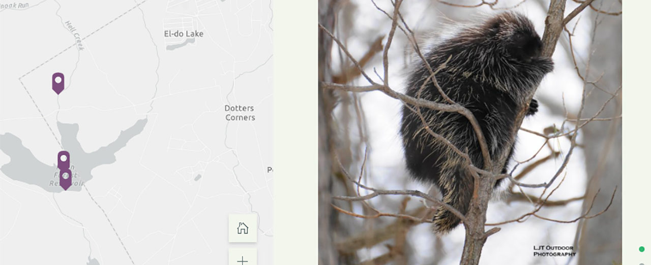
The story map includes an interactive web map that allows the general public to learn where the Authority’s two properties are located, as well as information about suggested activities at the sites, including hiking, fishing, hunting, and bird watching. Professional and amateur photos of the pristine natural environment and the flora and fauna located there are included as well. The public is also advised as to how they can report any potential security concerns that are identified on the Authority properties. This story map helps engage the public while providing useful information that can be accessed 24 hours a day, seven days a week from any computer, smart phone or tablet. View the Public Access story map here.
SERVICES
- GIS
- Unmanned Aerial Systems Survey