
CFX SR417 Highway Widening and Improvements
Orange County, FL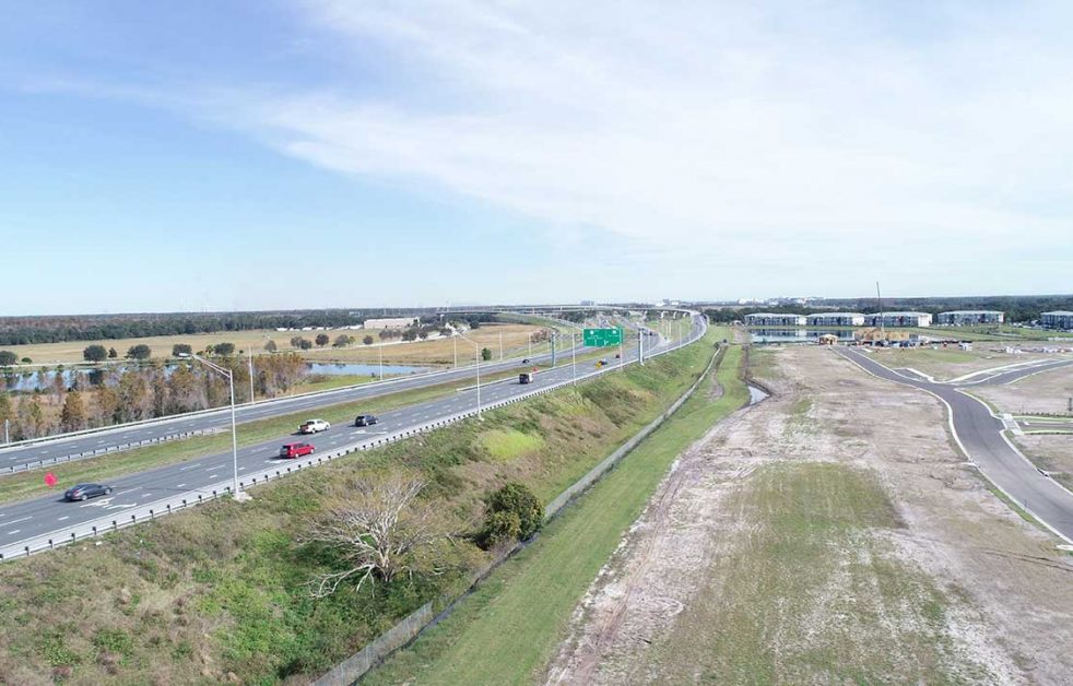


CFX SR417 Highway Widening and Improvements
Orange County, FL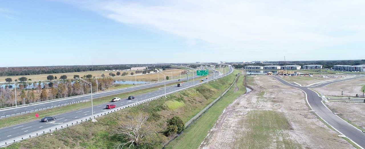
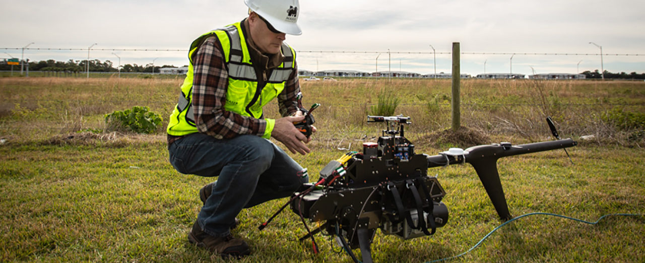
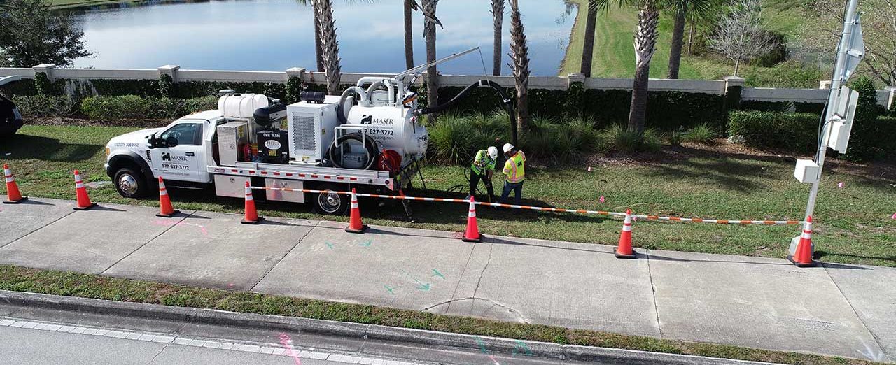

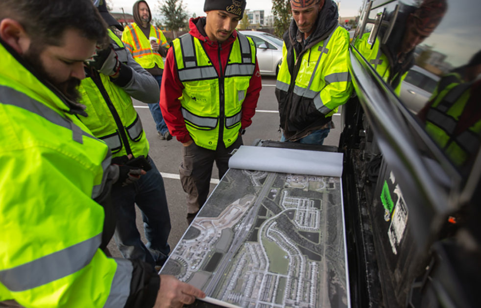
From the initial design studies for State Route 417, the Central Florida Expressway Authority (CFX) has always envisioned an ultimate six-lane expressway to account for future growth and increased demand. The plan has been to widen the existing four-lane corridor by adding two median lanes, one in each travel direction. Colliers Engineering & Design provided topographic survey, subsurface utility engineering, Mobile LiDAR, and UAS LiDAR services to CFX as a subconsultant to Horizon Engineering Group, Inc. in support of the design of highway widening and various other improvements along State Route 417 from Landstar Boulevard to Boggy Creek Road.
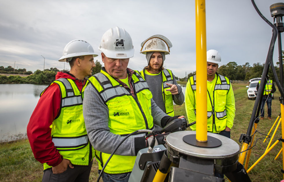
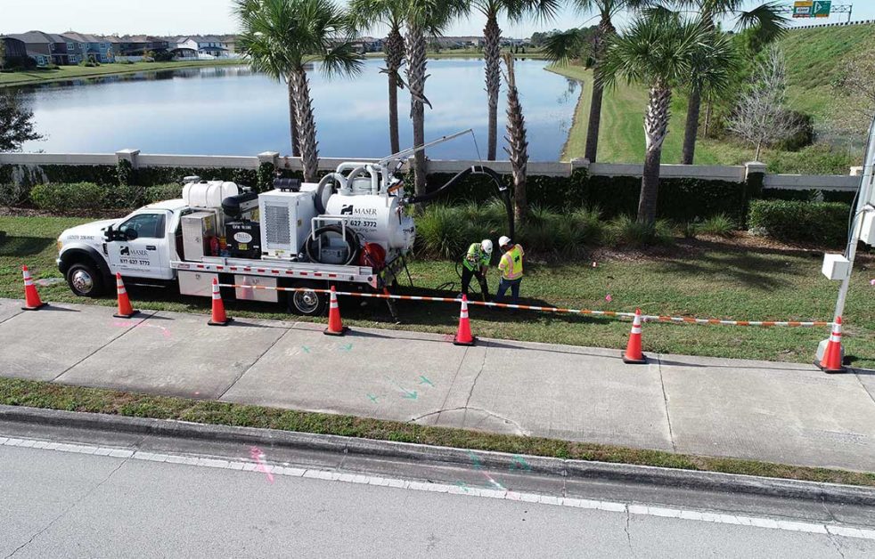
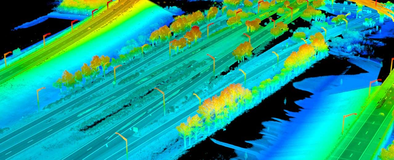
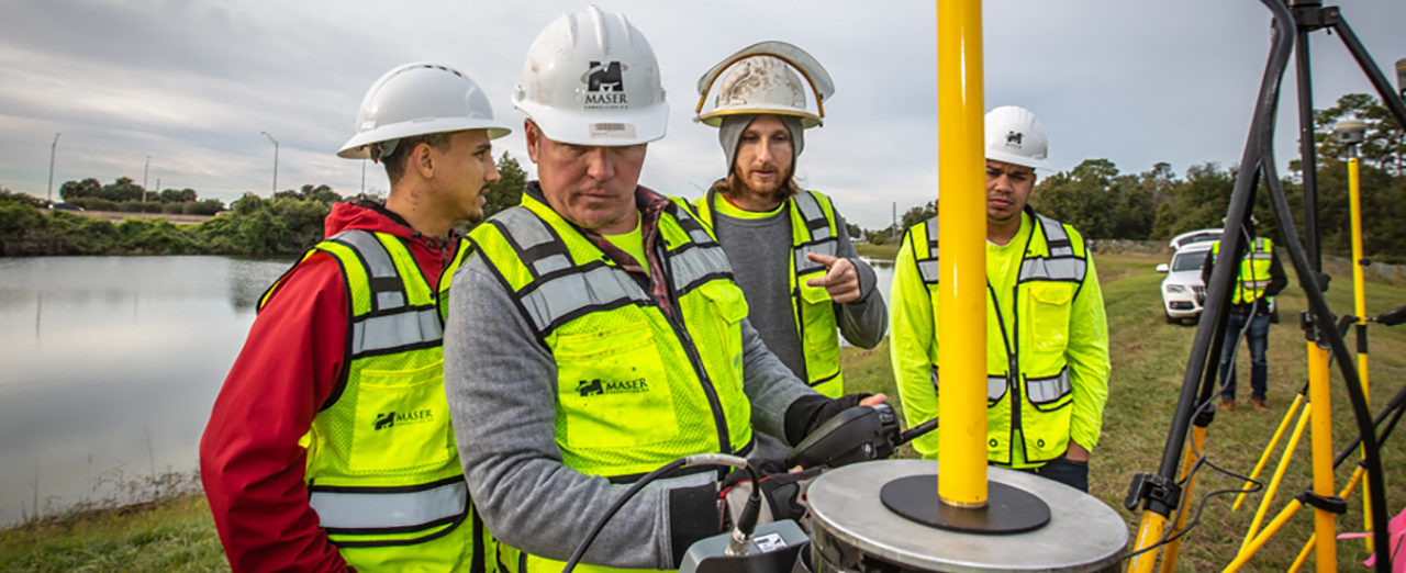
The survey scope of work included planimetric mapping and digital terrain modeling of the entire project corridor, from Right of Way to Right of Way for over four miles of highway and cross streets. Colliers Engineering & Design provided underground utility designates and locates, Mobile LiDAR, and UAS LiDAR, which were used to locate and document existing ground features along the roadway. Areas not visible for LIDAR collection, such as drainage ditches and wooded areas, were collected conventionally by RTK GPS or Total station. The resulting datasets were merged to create a highly detailed and comprehensive final design survey deliverable.
SERVICES
- Land Survey
- LiDAR Mobile Mapping
- Subsurface Utility Engineering
- Unmanned Aerial Systems Survey