
Florida State Route 54 Design-Build Scanning
Pasco County, FL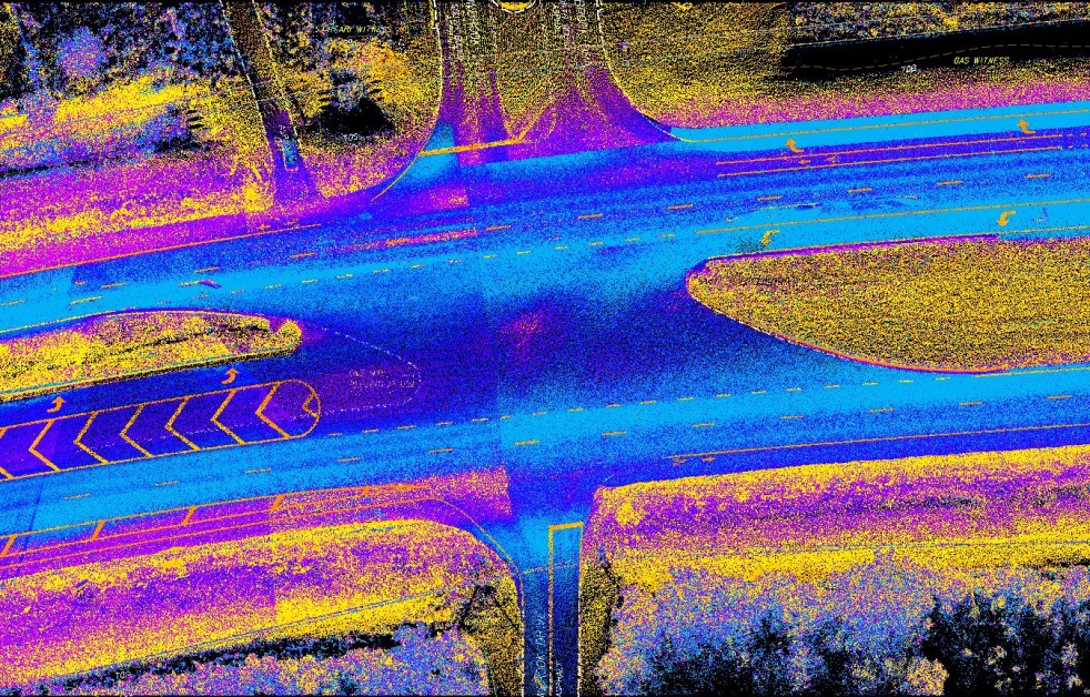
Florida State Route 54 Design-Build Scanning
Pasco County, FL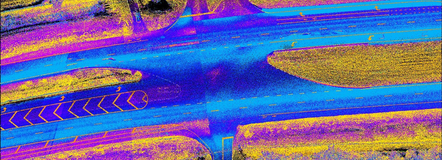
Provided Mobile LiDAR scanning services and survey support for the creation of design-build documents during the reconstruction of State Route 54 from the Suncoast Parkway to U.S. 41 in Pasco County, Florida. The highway was expanded from four lanes to six, with additional improvements including roadway, drainage, walls, signing, pavement markings, signalization, lighting, landscaping, and geotechnical and subsurface utility engineering. Median opening locations, driveway connection spacing, and turn-lane storage lengths were maintained during the design-build process.
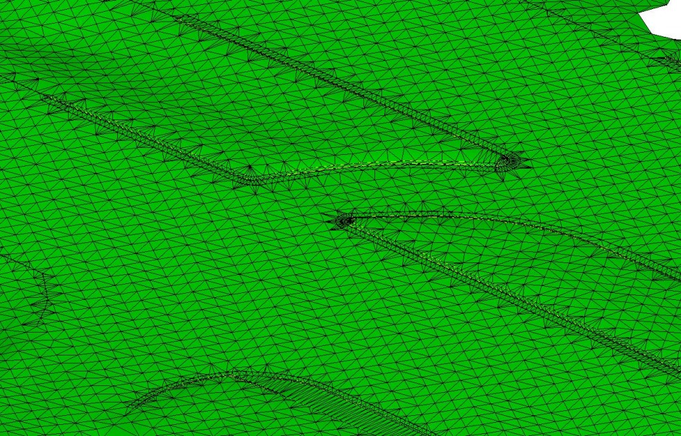
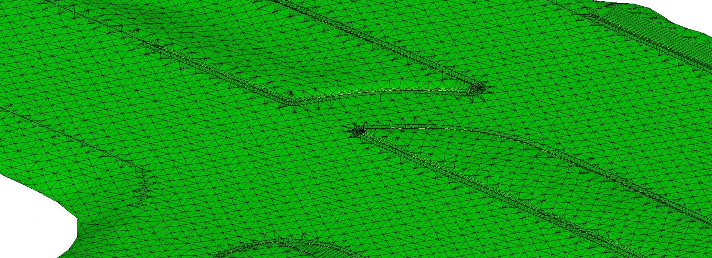
Our professionals performed all surveying and mapping services necessary to complete this project, including Mobile LiDAR data collection, processing, and extraction of roadway features for creation of a standard deliverable in full compliance with Florida Department of Transportation (FDOT) standards. Data Fusion was performed using conventional survey data in areas obscured from the Mobile LiDAR scans while integrating conventional survey data provided by FDOT from a previously surveyed corridor, as well as aerial LiDAR information. Our professionals also provided QA/QC services using aerial LiDAR and aerial imagery.
SERVICES
- LiDAR Mobile Mapping