
NMDOT I-25 and US-491 LiDAR Scanning
Valencia & McKinley Counties, NM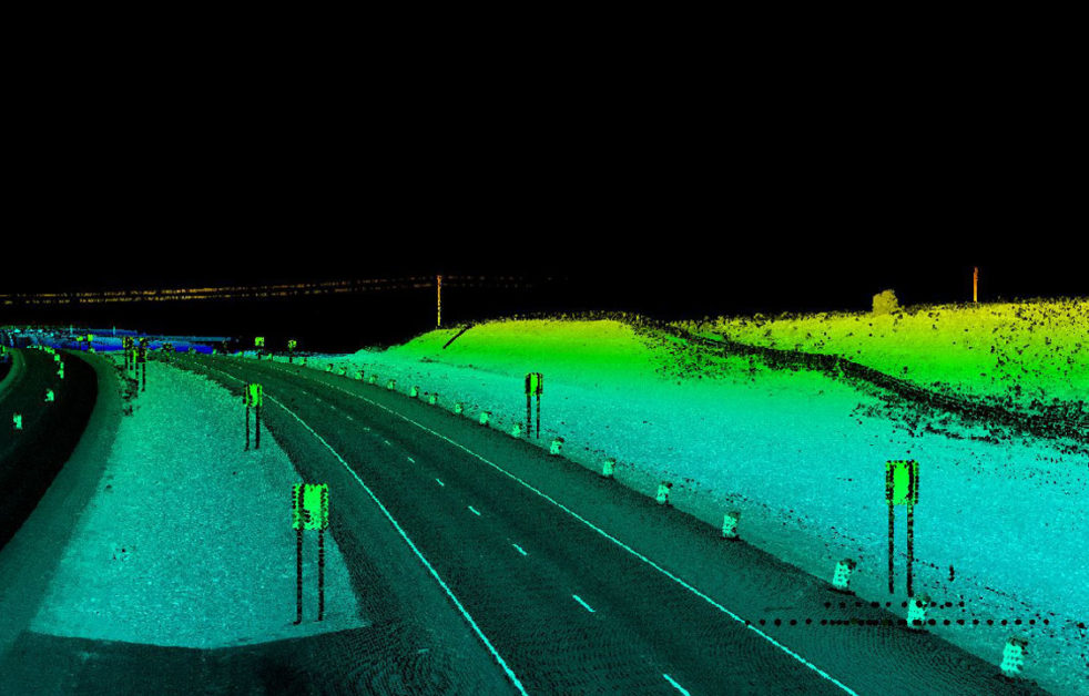
NMDOT I-25 and US-491 LiDAR Scanning
Valencia & McKinley Counties, NM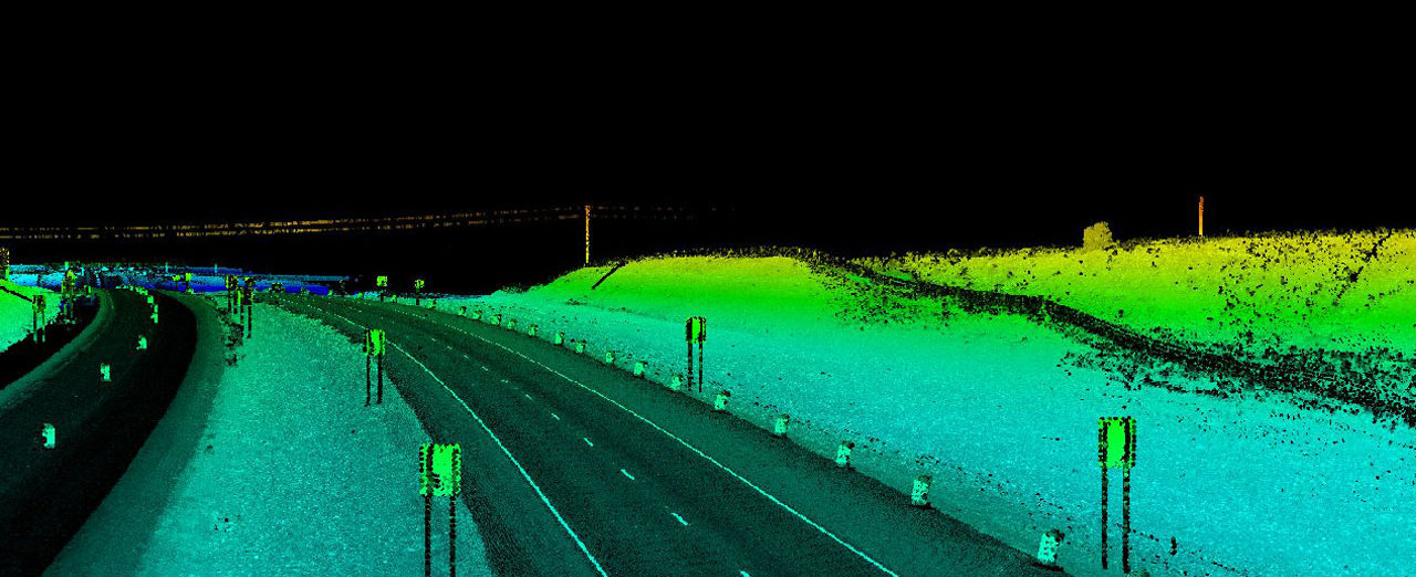
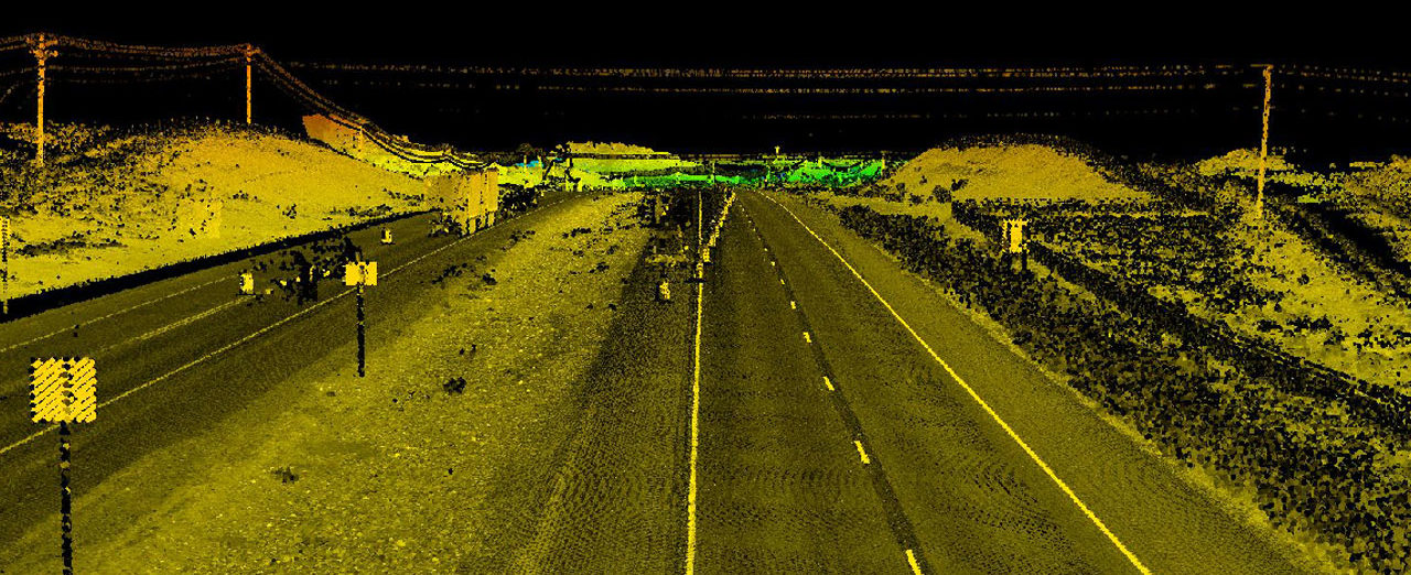
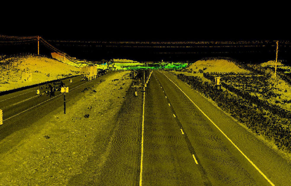
Colliers Engineering & Design performed design-grade mobile LiDAR scanning for several New Mexico Department of Transportation Full Depth Reclamation projects on US-491 north of Gallup and I-25 between Los Lunas and Belen. Approximately 13 miles of US-491 and 12 miles of I-25 were scanned. The LiDAR data set was used as the basis for producing location survey base maps with a high-density DTM and required planimetric features for each of the projects.
The high-density DTM generated from the mobile LiDAR data set provided the engineers with a very detailed and comprehensive model of the existing pavement conditions. The DTM accurately modeled the rutting, pot holes, and upheaval of the pavement. This allowed engineers to make very accurate volumes computations that would not have been possible with any other mapping methodology. The increased accuracy of the volume computations allowed for more precise estimating of construction costs.
SERVICES
- LiDAR Mobile Mapping