
NMDOT I-25 Mobile LiDAR Scanning & Location Survey
Bernalillo County, NM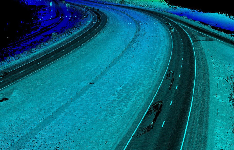
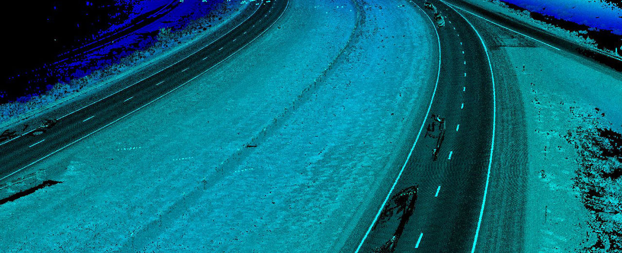
Colliers Engineering & Design provided design-grade mobile LiDAR scanning of approximately 2.7 miles of the Interstate 25 corridor north of the NM47 interchange. The LiDAR data set was used to generate a high density DTM and map the required planimetrics within the project limits in compliance with NMDOT Location Survey specifications. Colliers Engineering & Design merged the LiDAR derived mapping with photogrammetric mapping of the area provided by the Engineer.
The final mapping product provided the Engineer a seamless base map with high accuracy/density mapping of the roadway prism and areas adjacent to the roadway and sufficient mapping coverage of the project corridor to perform comprehensive drainage analysis. The mobile LiDAR scanning and location survey were completed as part of the I-25 South Corridor Study that is being done to identify transportation needs and to develop a priority plan that will assist NMDOT with allocating financial resources for both short- and long-term projects within the I-25 South Corridor.
SERVICES
- LiDAR Mobile Mapping