Sacramento Trolley Extension
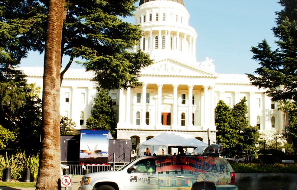
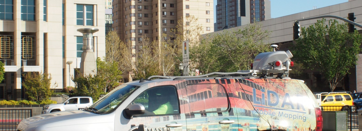
City of Sacramento, Sacramento County, CAProvided Mobile LiDAR Mapping and data extraction services for an extension of the Sacramento Trolley system that services the thriving governmental and entertainment districts of California’s capital city. By utilizing Mobile LiDAR Mapping, Colliers Engineering & Design was able to efficiently capture and map existing site conditions for the client, as well as plan and design for the future trolley system extension. Due to the extreme traffic conditions—consisting of both vehicular and foot traffic—a decision was made to capture the streets during night. This was the safest alternative, given the conditions.
The final mapped streets totaled 4.5 miles, and the modeled data included typical topographic features such as the overhead catenary system and supporting structures; trolley rail; mature tree cover; and building lines. Mobile LiDAR Mapping units collect project data at a rate of 1.1 million points per second, which enabled the survey team to collect data for this project in approximately three hours, including safety briefing and coordination. Colliers Engineering & Design’s portion of this project was completed and delivered in fewer than five weeks, less time than it would have taken to capture the data using conventional survey methodology.
SERVICES
- LiDAR Mobile Mapping


