
UAS LiDAR for Bush Highway
City of Mesa, Maricopa County, AZ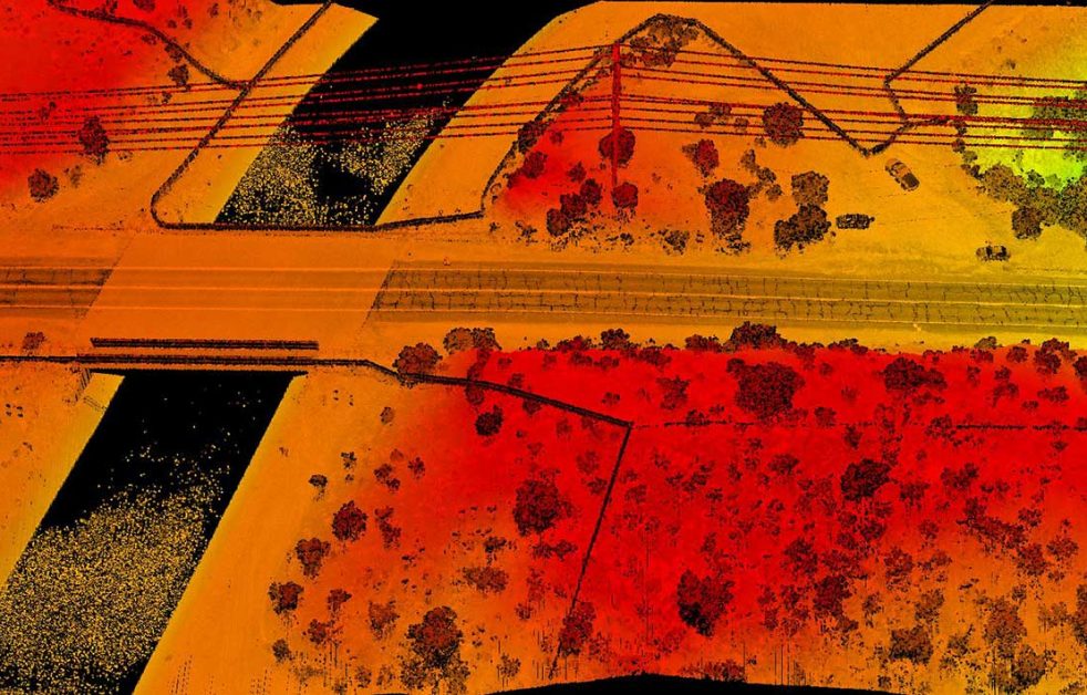
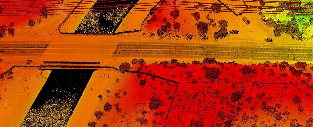
Colliers Engineering & Design was retained by the Maricopa County Department of Transportation to provide aerial survey services to capture existing baseline features of Bush Highway for future roadway improvements and construction. We developed a project approach utilizing LiDAR data capture with the Riegl VUX-1 LiDAR sensor mounted on the Pulse Aerospace Vapor 55 UAS platform to perform UAS LiDAR and photogrammetric topographic mapping for the Bush Highway corridor.
Our services included delivery of LiDAR point cloud and topographic mapping for five miles of Bush Highway for construction documentation. We also provided delivery of ortho mosaic for a one-mile segment. Our survey professionals were responsible for flight parameter specification, ground control survey design, LiDAR and photo block adjustments, and QC review for dense point cloud and ortho mosaic products.
SERVICES
- LiDAR Mobile Mapping
- Unmanned Aerial Systems Survey