
Nick Zembillas Joins Colliers Engineering & Design as SUE Lead
Colliers Engineering & Design has hired Nick Zembillas as the National Business and Market Development Lead for Subsurface Utility Engineering (SUE) and Utility Services.
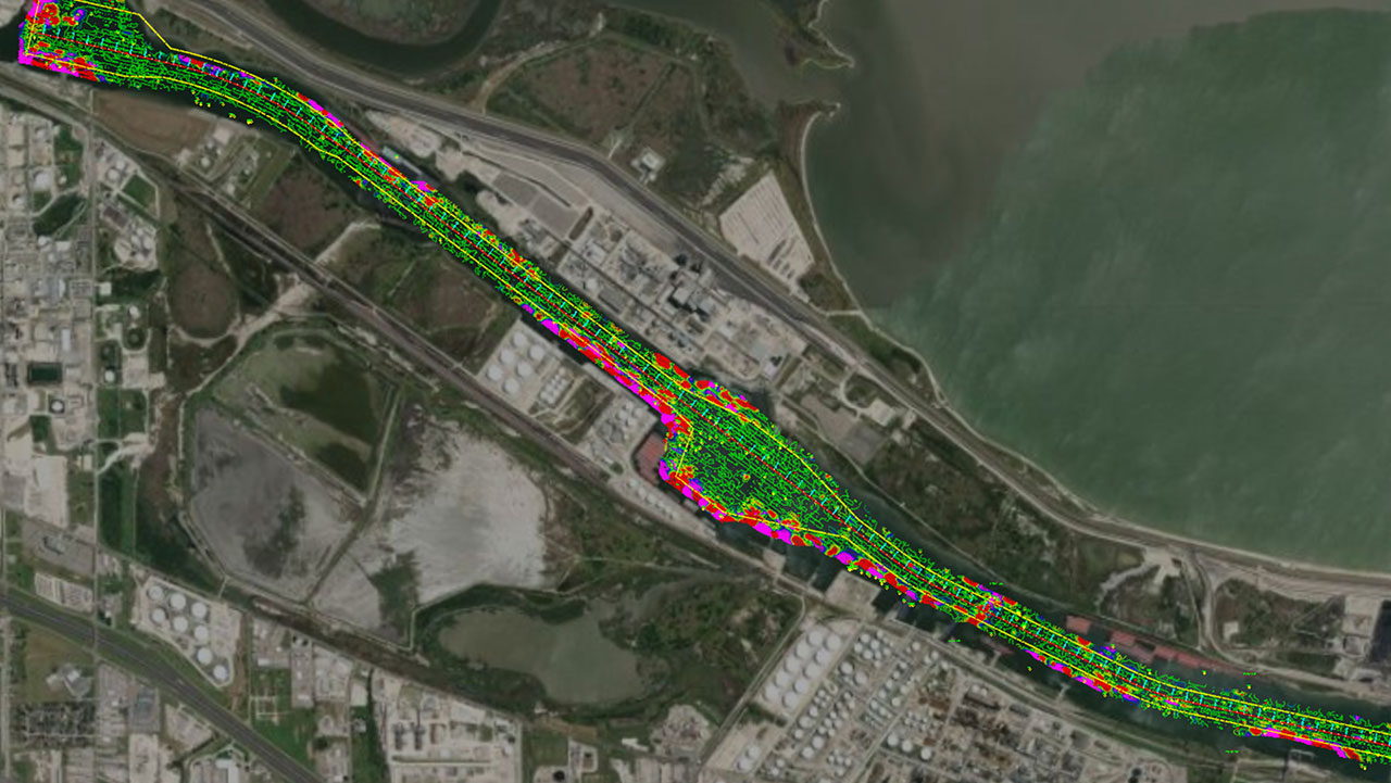
What Actually Is Hydrographic/Bathymetric Surveying?
Read how Hydrographic/Bathymetric Surveying maps water features using sonar and GPS, crucial for navigation, research, and conservation.